Aechelon Leads Launch of Project Orbion.
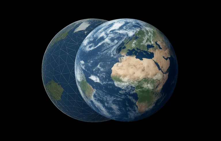
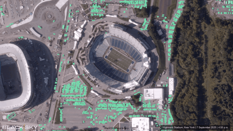
Aechelon’s Project Orbion is a living synthesis of real-time satellite imagery, radar intelligence, video photogrammetry and AI all combined with the most accurate rendition of the Earth, reconstructing and distributing our world in dynamic 3D. From monitoring wildfires to floods, from wartime troop movements to shipping routes in peacetime, from urban rescues to remote disasters – Project Orbion helps situational awareness, understanding and safe human decision making and makes autonomous systems safer.

Where AI Meets Readiness

Project Related Press Releases
Stay updated on Project Orbion—read the latest press releases and explore how we’re shaping the future of Earth’s digital twin technology.
Project Related Interviews & Panels
Long format unscripted interviews and public panels.